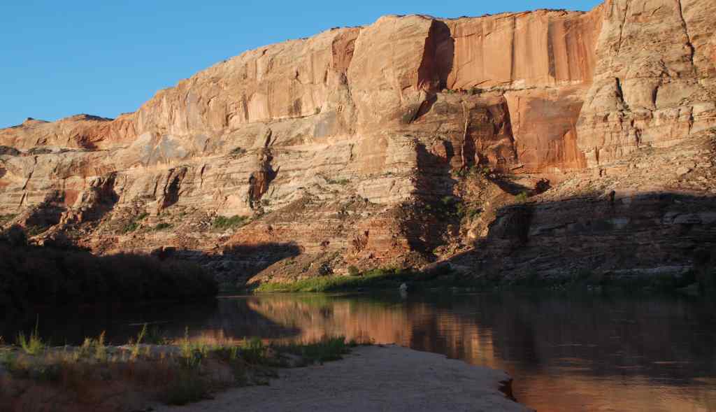
Sept 4 2008 Start in Green River State Park at 38.9888 -110.1503 See Map.
Sept 8 2008 Get Out in Mineral Bottom at 38.5248 -109.9933 See Map

| Begin at Green River State Park | 38 59.326 -110 9.020 |
| Lunch at Crystal Geyser | 38 56.255 -110 8.139 |
| 1st Night Camp | 38 49.917 -110 7.450 |
| Lunch spot | 38 43.012 -110 6.321 |
| Rest Walk see Tree | 38 42.361 -110 7.512 |
| 2nd Night Camp | 38 41.813 -110 5.914 |
| Inscriptions Geochache | 38 40.117 -110 5.603 |
| Lunch spot | 38 38.902 -110 3.493 |
| 3rd Night Camp | 38 37.219 -110 2.509 |
| Hike to bluff starting point | 38 36.520 -110 1.875 |
| River Register on Bluff | 38 36.379 -110 1.878 |
| Lunch spot and 4th Night Camp | 38 36.218 -109 59.805 |
| Take Out at Mineral Bottom | 38 31.486 -109 59.599 |
| Sheri Griffith River Expeditions Office | 38 32.376 -109 30.854 |
.